
OFFICIAL LAUNCH MAP · 1969 FACILITY CONTEXT
Cam Ranh Port
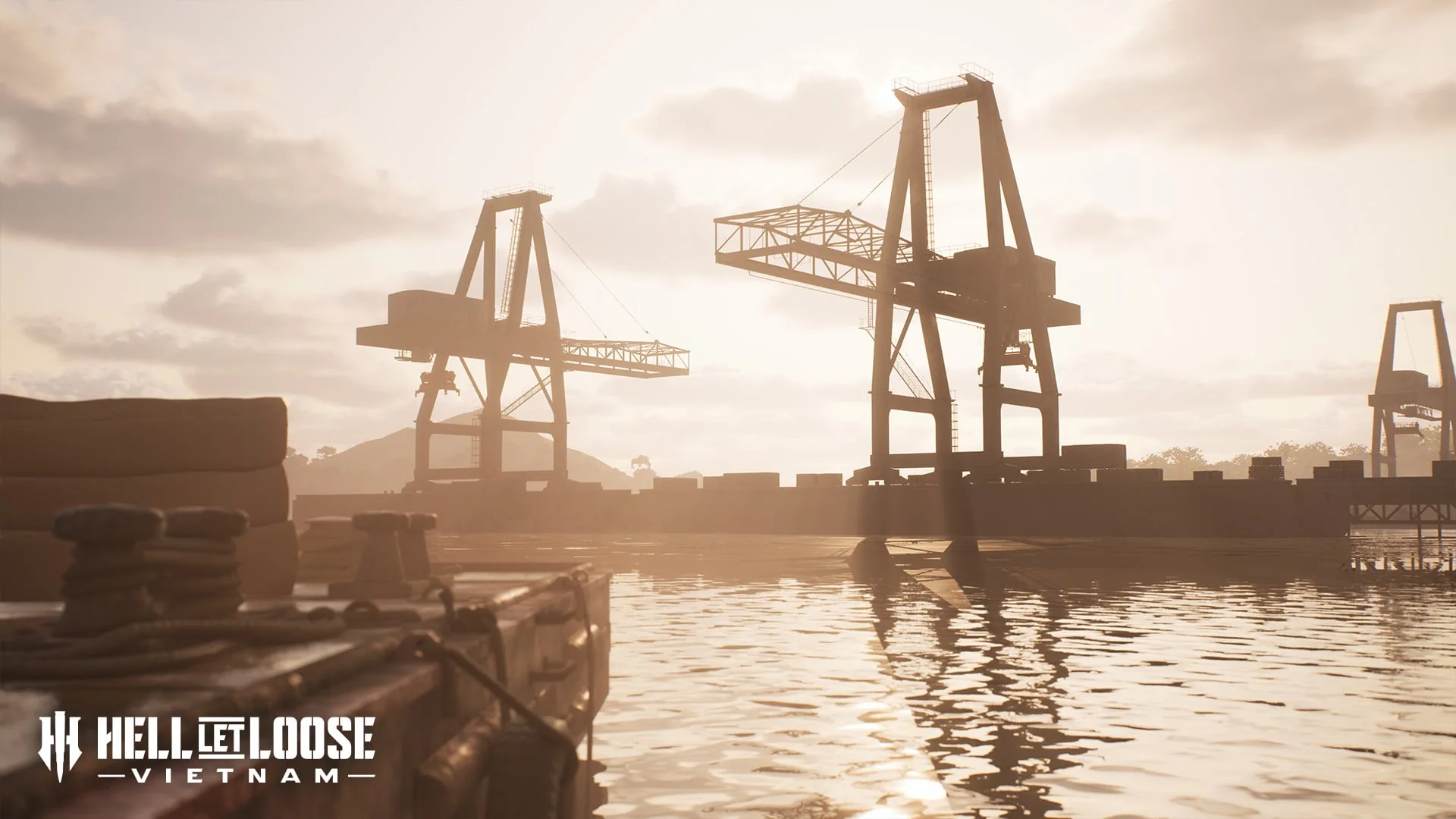
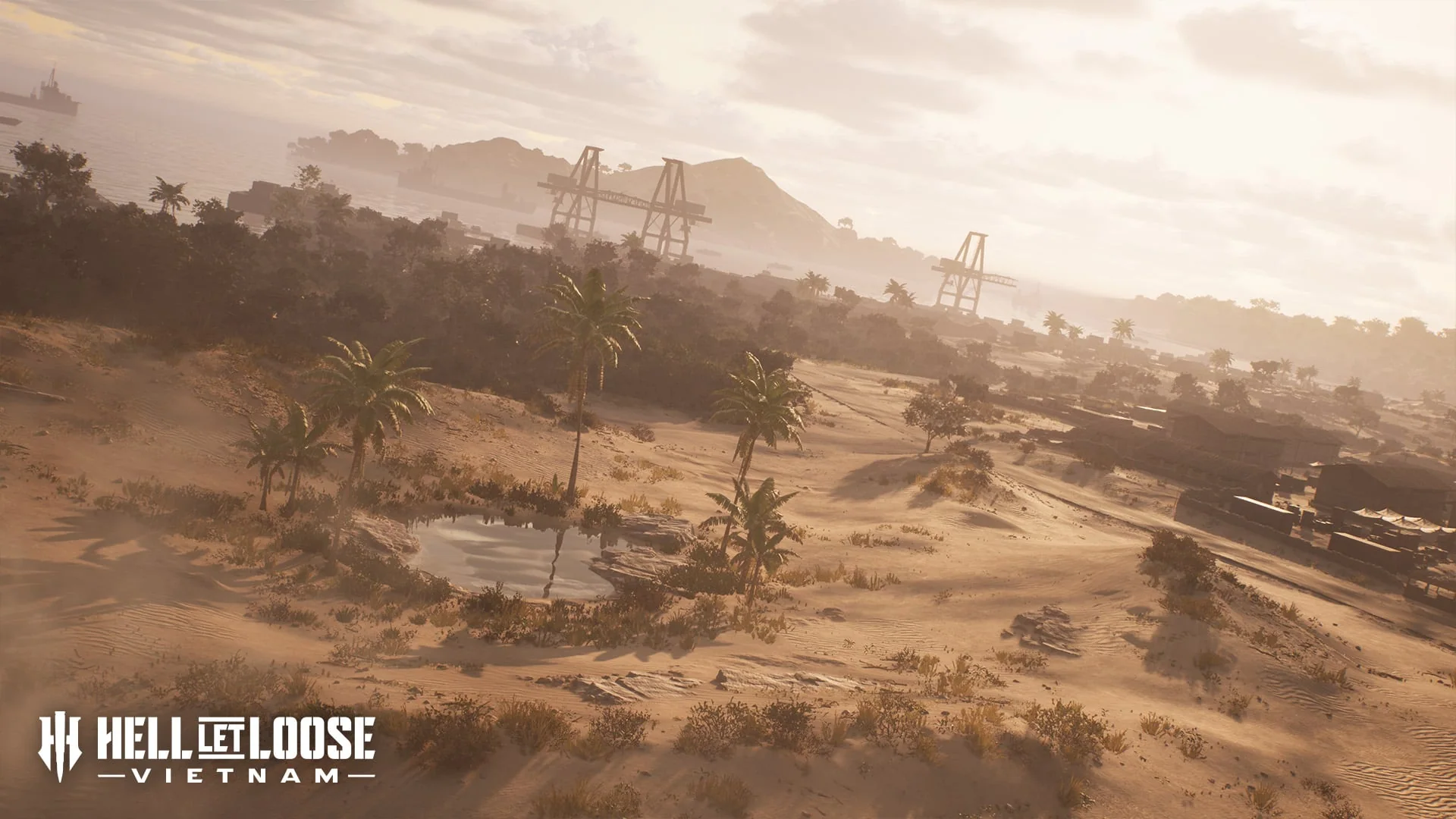
A fortified logistics port mixes dense compounds and industrial docks with dunes, creek beds and a broad southern waterway built for open boat engagements.
HISTORICAL SETTING
What inspired the battlefield
The official brief presents Cam Ranh Bay as an established Air Force, Naval, munitions and petroleum logistics facility by 1969, positioned on a secure peninsula with a deep-water bay and substantial DeLong Piers.
TACTICAL FOCUS
How the terrain changes play
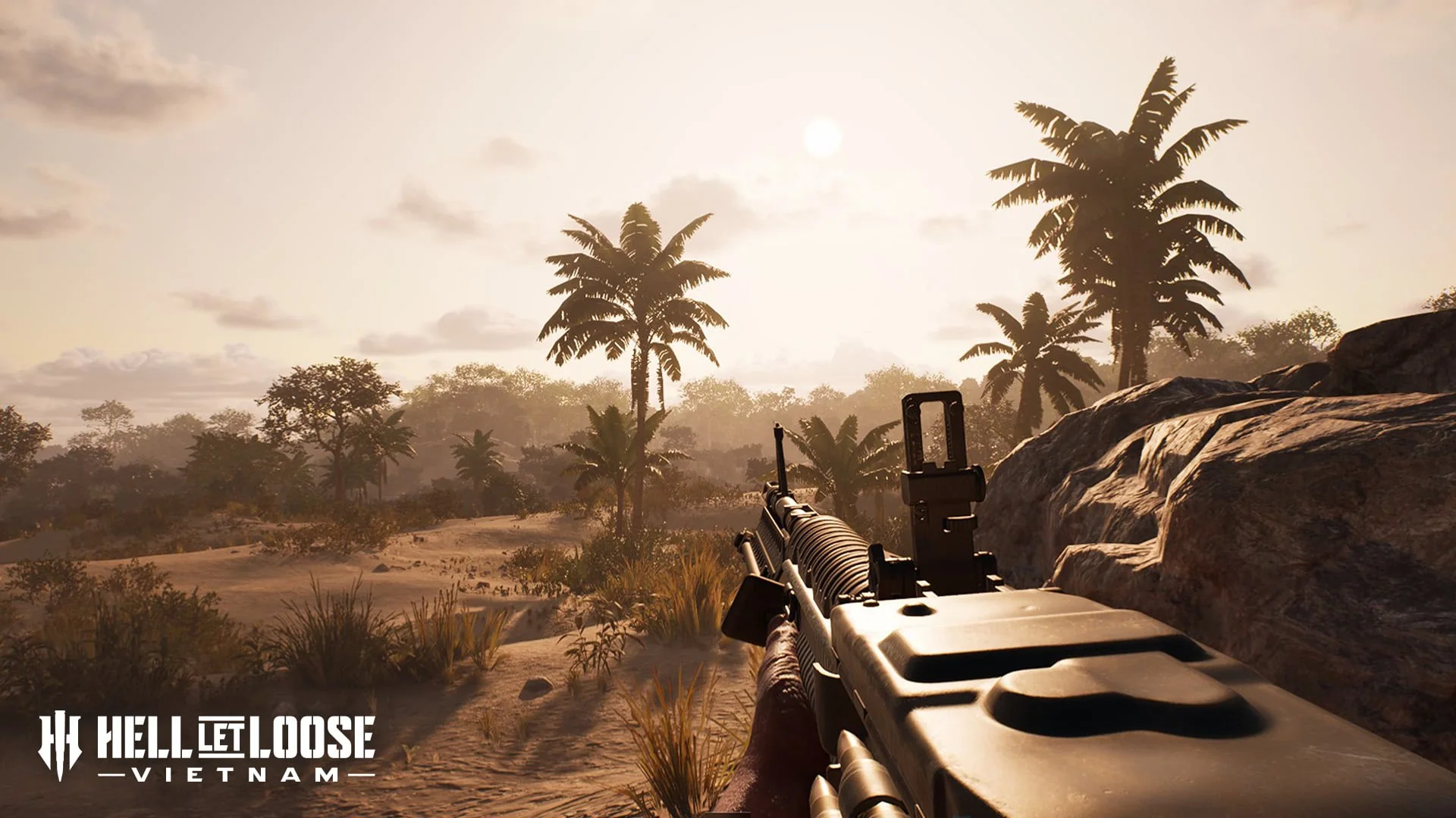
Industrial structures create close-range pressure while dunes and creek beds break lines of sight outside the compounds. The southern waterway adds a separate boat-combat route beside the ground battle.
NAMED TERRAIN
Features in the official brief
- Military compounds
- Industrial docks
- DeLong Piers
- Dry creek beds
- Rolling dunes
- Southern waterway
DOCUMENTED MODE EXAMPLE
What is explicitly shown
The official mode announcement uses Cam Ranh Port to illustrate Offensive from the attacker's opening sector.
VERIFIED FACTS
What the sources support
- The setting includes dense militarised areas and industrial docks
- Dry creek beds and rolling dunes shape the land approaches
- The southern waterway supports wide-open boat skirmishes
- The official mode article shows an Offensive example on this map
FIELDS AWAITING EVIDENCE
What is not claimed
- Offensive objective order and names
- Other supported modes
- Boat spawn and construction points
- Compound and pier callout names