
OFFICIAL LAUNCH MAP · JANUARY 1968
Huế Outskirts
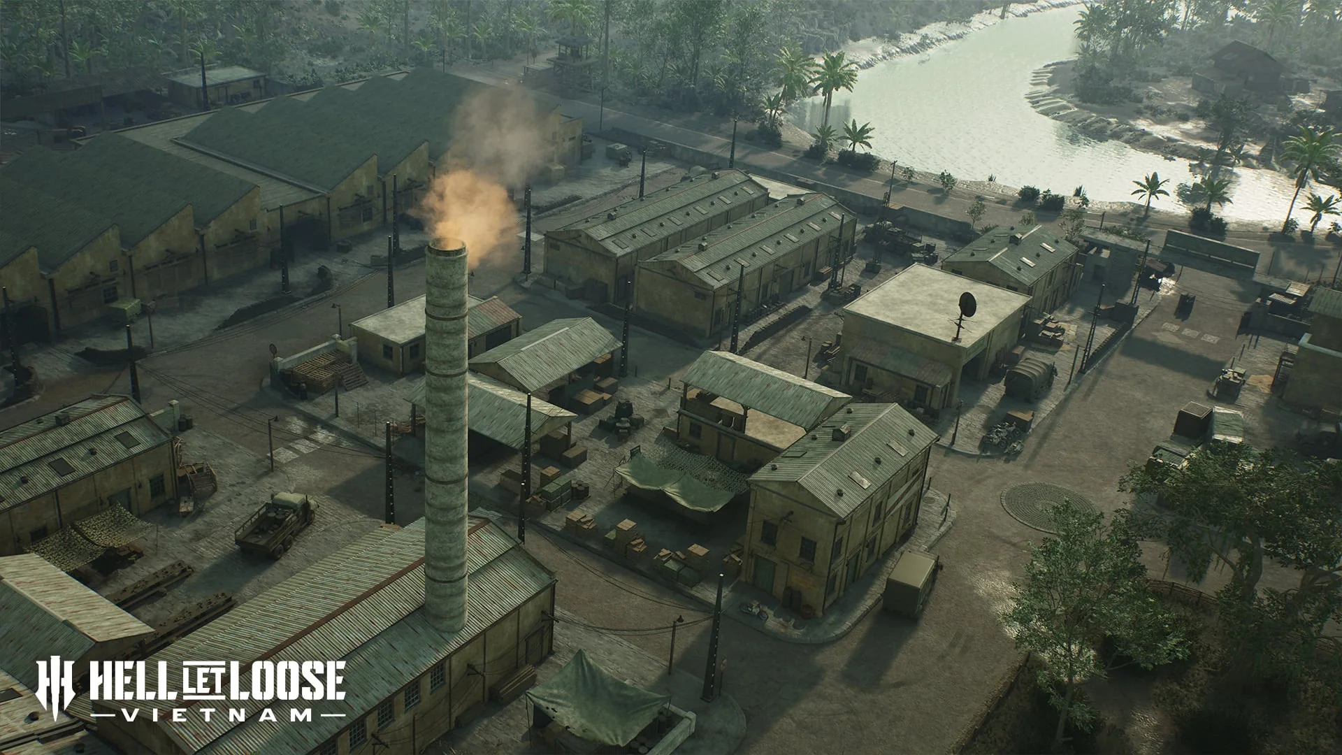
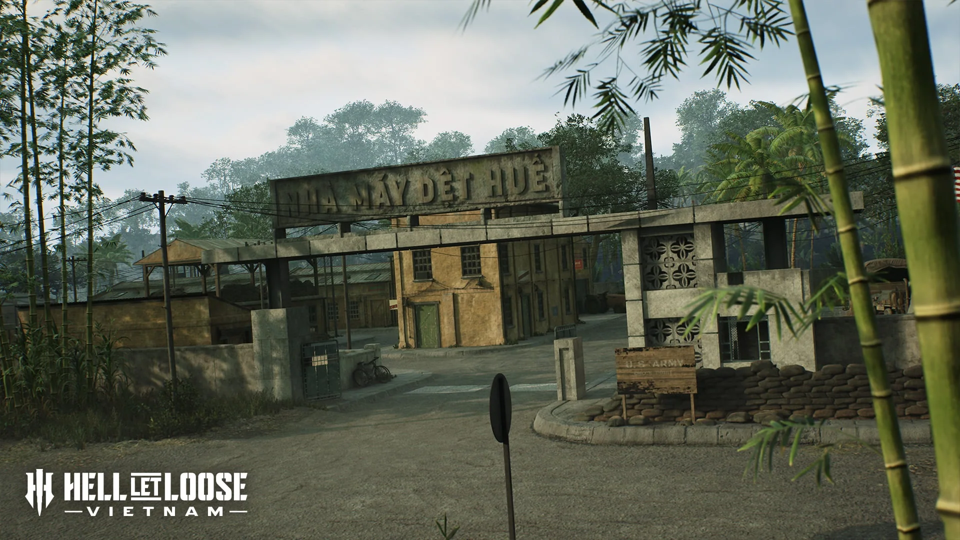
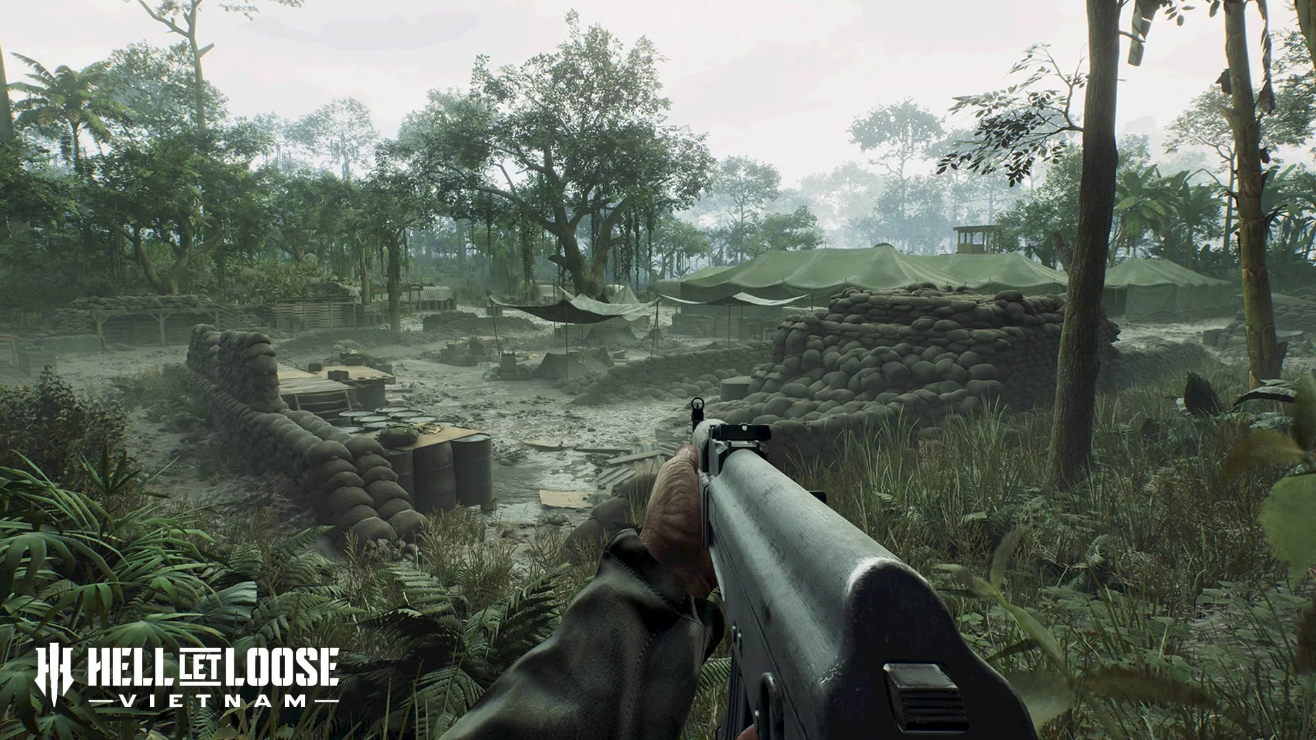
The approaches to Huế combine terraced farms and dense jungle with waterways, defended bases and large concrete industrial spaces.
Tet Offensive · Approaches to Huế · Reviewed Aug 15, 2026
SETTINGTet Offensive · Approaches to Huế
PERIODJanuary 1968
EVIDENCEOfficial launch brief
SCOPETerrain and tactical context
HISTORICAL SETTING
What inspired the battlefield
The official brief frames the map around the Tet Offensive and the US approach to recapture Huế, focusing on the mountainous and agricultural terrain outside the city rather than the urban center itself.
TACTICAL FOCUS
How the terrain changes play
Elevation changes create vertical sightlines, while jungle and fortified compounds shorten engagement distance. Accessible waterways connect otherwise contrasting terrain zones.
NAMED TERRAIN
Features in the official brief
- Mountain terrain
- Terraced farms
- Dense jungle
- Waterways
- US bases
- Industrial areas
DOCUMENTED MODE EXAMPLE
What is explicitly shown
No single mode is assigned to this map in the current official mode announcement.
Not a complete rotationServer rotations and every supported map-mode pairing still need first-party or server-browser evidence.
VERIFIED FACTS
What the sources support
- The map represents the outskirts rather than central Huế
- Terraced farms, mountains and dense jungle are named terrain features
- Fortified US bases and industrial areas create close combat
- Waterways connect major parts of the battlefield
FIELDS AWAITING EVIDENCE
What is not claimed
- Sector and strongpoint names
- Complete mode rotation
- Watercraft and armour availability
- HQ and deployment locations