
OFFICIAL LAUNCH MAP · AUGUST 1965
Vạn Tường
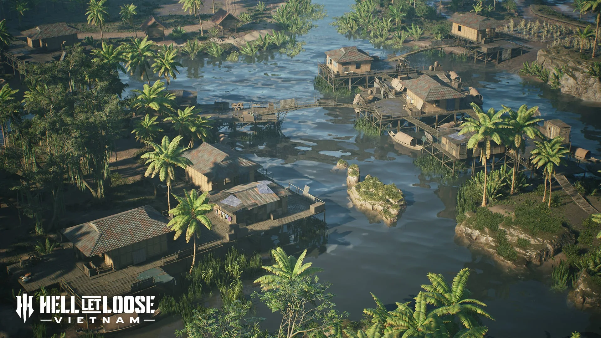
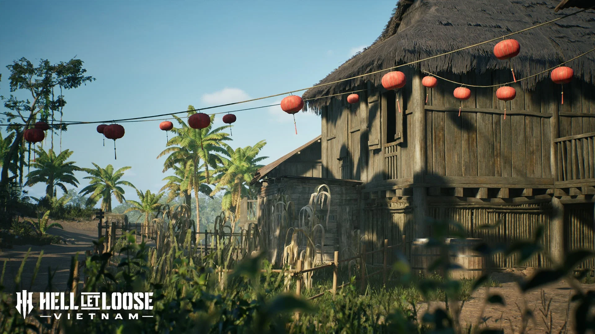
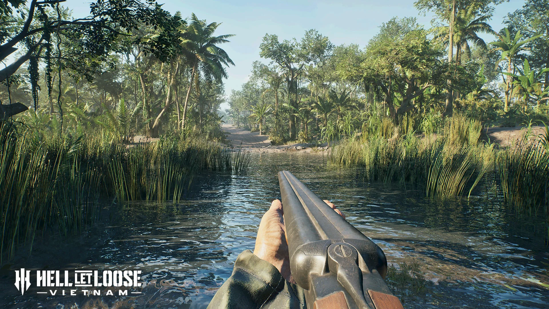
Small villages and confined jungle fighting sit beside a broad river network that supports boat movement and infantry ambushes from dense bankside foliage.
HISTORICAL SETTING
What inspired the battlefield
The map is inspired by Operation Starlite, described by the official brief as the first US offensive of the war and involving an amphibious beach landing plus three simultaneous helicopter landings near Chu Lai.
TACTICAL FOCUS
How the terrain changes play
Squads must transition between semi-urban village fighting and short-range jungle contact. Rivers create faster movement corridors but expose boats to infantry concealed along the banks.
NAMED TERRAIN
Features in the official brief
- Small villages
- Dense jungle
- River network
- River foliage
- Semi-urban areas
DOCUMENTED MODE EXAMPLE
What is explicitly shown
The official mode announcement uses Vạn Tường to illustrate Conquest and its cross-shaped objective layout.
VERIFIED FACTS
What the sources support
- The map is tied to Operation Starlite
- Villages and jungle provide contrasting combat spaces
- The river network is explicitly described as suitable for boats
- Dense river foliage supports infantry ambushes
FIELDS AWAITING EVIDENCE
What is not claimed
- Exact Conquest objective names
- Other supported modes
- Boat construction and spawn points
- Helicopter landing zones