
OFFICIAL LAUNCH MAP · 1965–1968 CAMPAIGN CONTEXT
Thanh Hóa Bridge
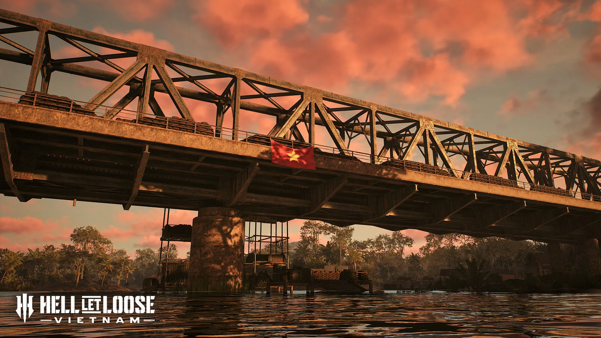
A heavily defended bridge across the Nam Ma River creates a battlefield built around crossings, cross-river pressure and close fighting near villages and trainyards.
HISTORICAL SETTING
What inspired the battlefield
The official map brief places Thanh Hóa Bridge within Operation Rolling Thunder. Also known as the Dragon's Jaw, the bridge was repeatedly targeted by US aerial strikes and protected by NVA defences between two mountainous peaks.
TACTICAL FOCUS
How the terrain changes play
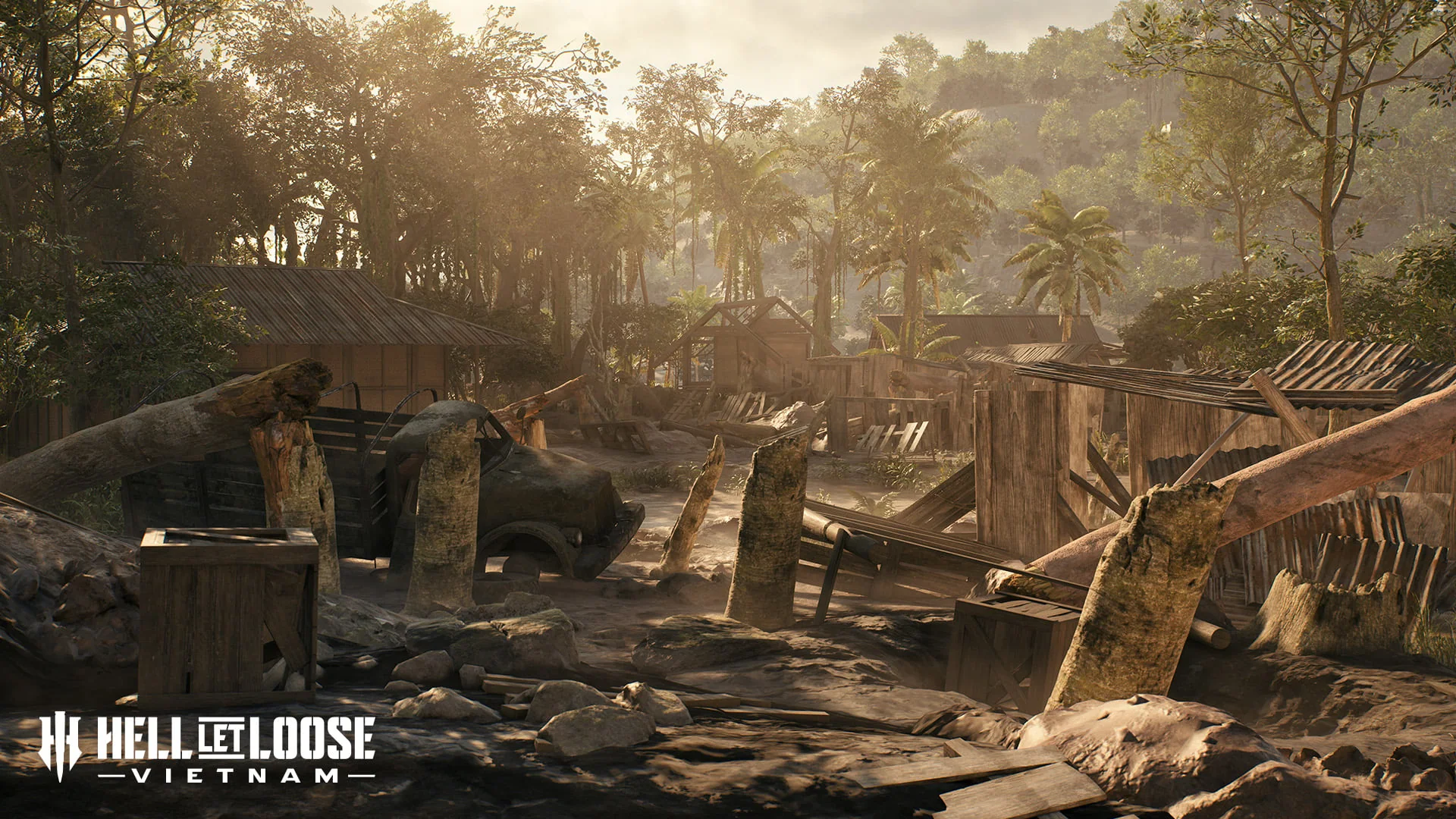
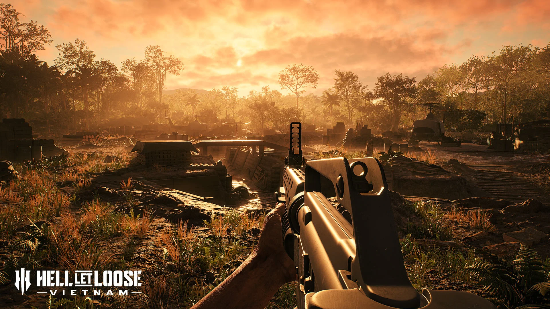
Control of the bridge and alternative crossings shapes movement. Jungle and mountain terrain can conceal approaches, while the villages and trainyards compress squads into close-range engagements.
NAMED TERRAIN
Features in the official brief
- Fortified bridge
- River crossings
- Jungle
- Mountain approaches
- Villages
- Trainyards
DOCUMENTED MODE EXAMPLE
What is explicitly shown
Warfare and Offensive were used on Thanh Hóa Bridge during the Open Beta; this is not published as the complete launch rotation.
VERIFIED FACTS
What the sources support
- The bridge crosses the Nam Ma River
- The official brief emphasizes river and cross-river combat
- Villages and trainyards are named close-quarters areas
- Jungle and mountainous terrain frame the approaches
FIELDS AWAITING EVIDENCE
What is not claimed
- Sector and strongpoint names
- Complete mode rotation
- Vehicle and boat spawn locations
- HQ and resource-node positions