
OFFICIAL LAUNCH MAP · SEPTEMBER 1965
Quảng Ngãi
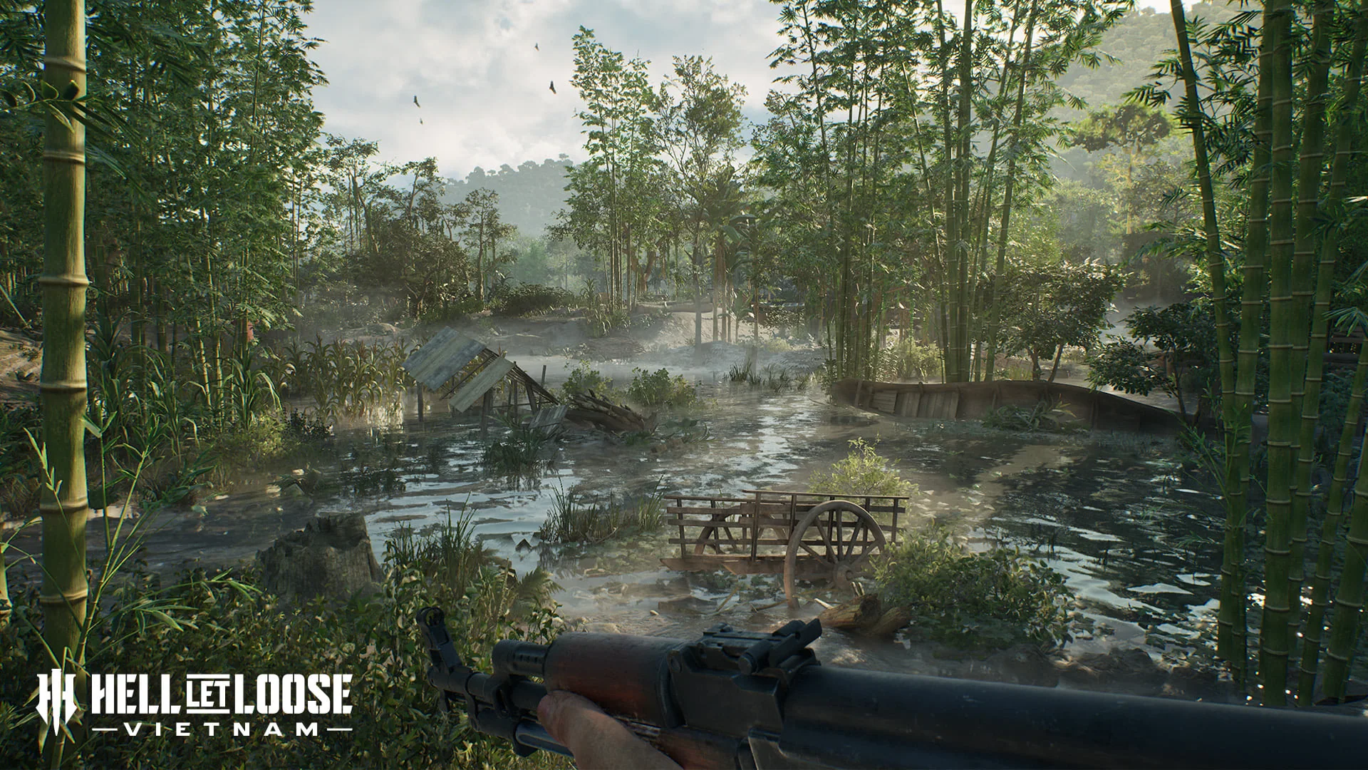
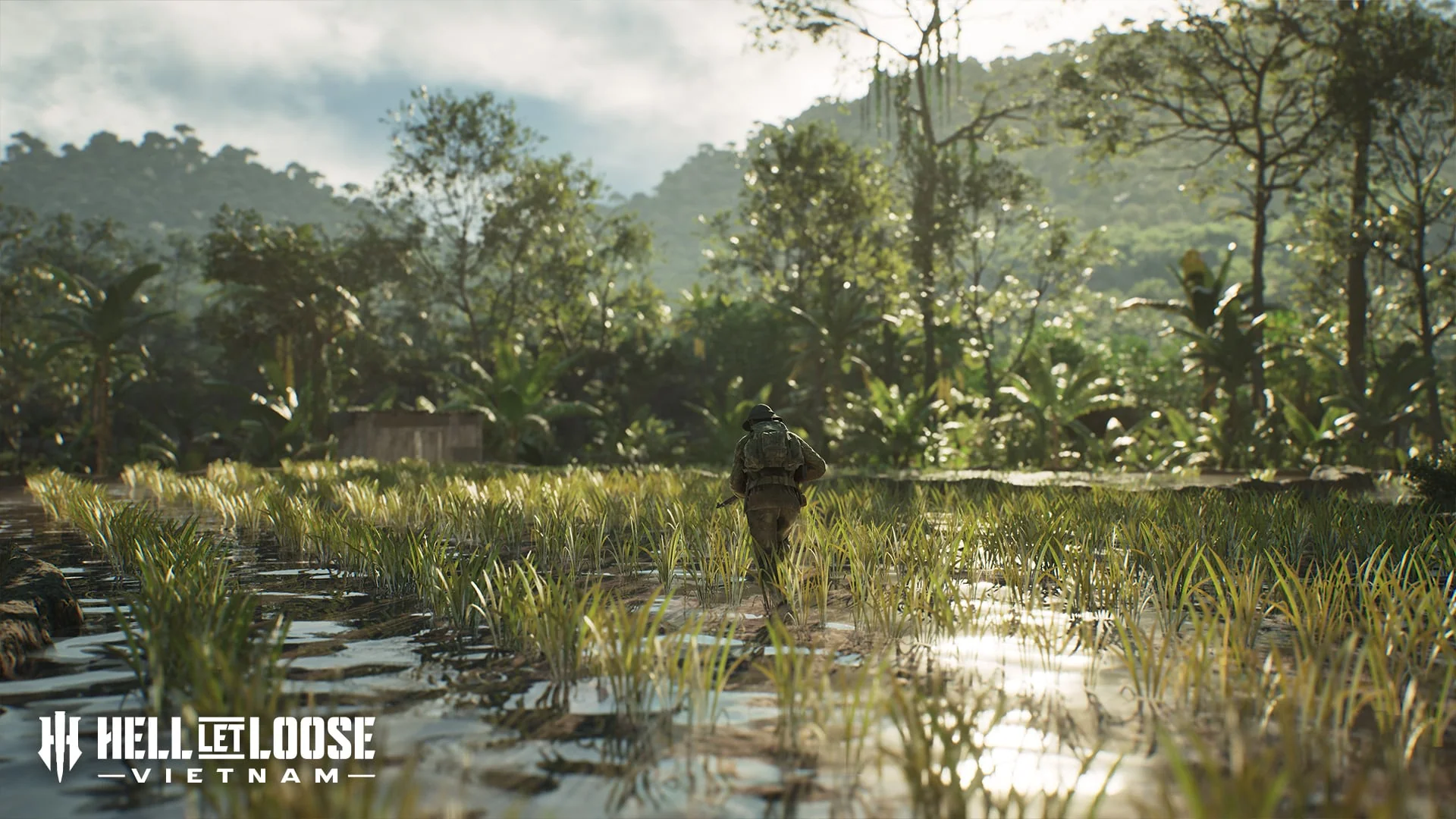
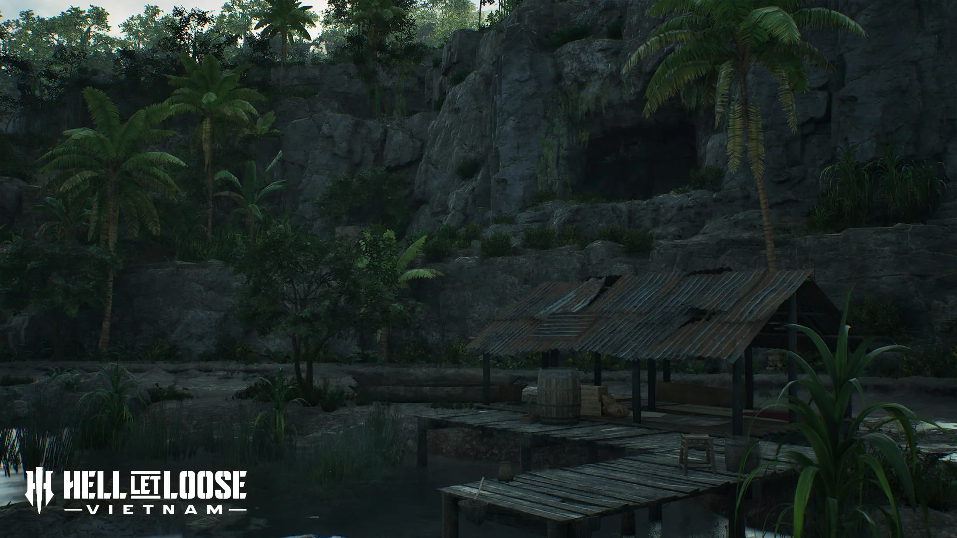
Flooded ground, caves, cliffs and bamboo forests force squads to move repeatedly between restricted jungle routes, exposed lowlands and vertical terrain.
HISTORICAL SETTING
What inspired the battlefield
The official brief connects the map to Operation Piranha, the follow-up to Operation Starlite, including an early beach landing and helicopter envelopment against forces retreating toward the southern Batangan Peninsula.
TACTICAL FOCUS
How the terrain changes play
The terrain changes quickly: caves and forest constrain movement, cliffs add vertical risk, and open lowlands or river crossings punish unsupported advances.
NAMED TERRAIN
Features in the official brief
- Monsoon flooding
- Rocky cliffs
- Caves
- Bamboo forest
- Open lowlands
- River expanses
DOCUMENTED MODE EXAMPLE
What is explicitly shown
The official mode announcement uses Quảng Ngãi to illustrate the opening neutral sector in Warfare.
VERIFIED FACTS
What the sources support
- Monsoon flooding is a defining environmental feature
- Caves and rocky cliffs create confined and vertical fighting
- Bamboo forest contrasts with exposed lowland terrain
- The official mode article shows a Warfare example on this map
FIELDS AWAITING EVIDENCE
What is not claimed
- Warfare strongpoint names
- Other supported modes
- Flood-depth and swimming routes
- Vehicle and deployment locations