
OFFICIAL LAUNCH MAP · NOVEMBER 1967
Đắk Tô Airfield
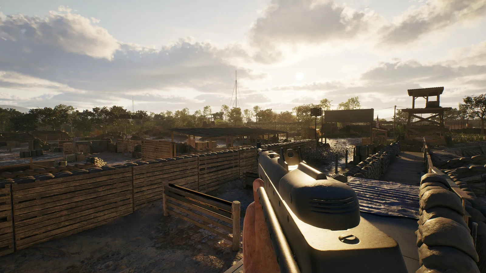
A long operational airstrip and relatively open surroundings give armour and reconnaissance more room while exposing infantry crossing the base.
HISTORICAL SETTING
What inspired the battlefield
The official brief places the map during the Battle of Đắk Tô and an attack on a key US airfield base and surrounding hilltop fortifications in South Vietnam's central highlands.
TACTICAL FOCUS
How the terrain changes play
Open sightlines make communication and coordinated movement essential. The runway favors armour and reconnaissance awareness, while craters, wrecks and airfield structures provide intermittent cover.
NAMED TERRAIN
Features in the official brief
- Long airstrip
- Open approaches
- Impact craters
- Destroyed vehicles
- Airfield buildings
- Hilltop context
DOCUMENTED MODE EXAMPLE
What is explicitly shown
The official mode announcement uses Đắk Tô Airfield to illustrate Domination with three central objectives and locked HQs.
VERIFIED FACTS
What the sources support
- The long airstrip is the focal point of the map
- Armour and recon are explicitly described as benefiting from the open area
- Impact craters and destroyed vehicles cover parts of the runway
- The surrounding terrain is less dense than the typical jungle
FIELDS AWAITING EVIDENCE
What is not claimed
- Domination objective names
- Other supported modes
- Armour spawn locations and roster
- Airfield building callouts